India’s Geospatial Market to Reach Rs 25,000 Crore by 2025
Overview: India's geospatial market is expected to reach Rs 25,000 crore by 2025, growing at a CAGR of 16.5%. Advancements in geospatial technologies are transforming sectors such as agriculture, urban development, and disaster management. Government initiatives like PM Gati Shakti and the National Geospatial Policy 2022 are driving this growth.
India's geospatial market is set to reach Rs 25,000 crore by 2025, growing at a CAGR of 16.5%. This growth is driven by advancements in geospatial technologies, which are transforming sectors like agriculture, urban development, disaster management, and environmental monitoring. Government initiatives such as PM Gati Shakti and the National Geospatial Policy 2022 are playing a key role in accelerating this growth. The market is also attracting significant investment, with over $1 billion invested across 126 companies between 2019 and 2024.
What is Geospatial Technology?
-
Geospatial Technology refers to the application of Geographic Information system developing technology to support the needs of fields such as geography, archaeology, aeronautical mapping, remote sensing, mainframe mapping, Geographic Information system analysis, GIS software, and mapping services.
-
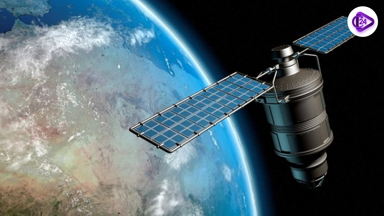
The geospatial technologies include geographic informatics, spatial and temporal data visualization and monitoring, hyperspectral data capture, and aerial surveys using unmanned aerial vehicles.
-
It provides fundamental data for sectors including Urban Development, Infrastructure Development, [Climate Studies namely Deep Ocean Mission], Agriculture, etc.
Key Points
-
As per a recent market report mentioned in the title India Geospatial Market Outlook 2024, the geospatial business in India will grow at a CAGR of nearly 16.5% by the following year 2025 with expected turnover of Rs 25000 crore.
-
Invested across 126 companies between 2019 and 2024, and set at $1 billion.
Implication of Geospatial Technologies
-
Agriculture: Drones and satellite imagery enhance the efficiency of using resources in the field of Agriculture known as precise agriculture.
-
Disaster Management: Through geospatial data, various calamities such as floods, droughts, and natural disasters can be predicted well in advance improving preparedness.
-
Urban Development: GIS can be used by smart cities in order to observe and control urban traffic, the collection of garbage, and administration of public services.
-
Environmental Monitoring: Supports climate action by monitoring deforestation, water bodies, and pollution.
-
Defence and Security: This facilitates surveillance of barriers, charting and planning.
Government Initiatives
-
PM Gati Shakti is all about infrastructure creation and the same will be based on a real-time map.
-
The National Geospatial Policy 2022 seeks to facilitate and encourage access to Geospatial data by the citizen and promote public-private- partnerships.
-
Smart Cities Mission employs geospatial intelligence for more efficient city design.
Technological Advancements
-
Hyperspectral Imaging: It Extracts hundreds of light wavelengths making possible functions like;
-
To enable early diagnosis of crop diseases and soils nutrient status.
-
Controlling water quality and releases of methane gas.
-
Drone Technologies: Services or sectors such as defence, mining, and natural mapping, have got an edge through companies like ideaForge where real-time data collection with high-resolution mapping assures accuracy up to a centimeter.
Challenges
-
Data Security: More particularly, access to geographical data is likely to compromise national security since such data is considered sensitive.
-
Lack of Awareness: Geospatial application awareness among the small enterprise remains low.
-
Infrastructure Gap: From the result above, it can be inferred that wide access to geospatial infrastructure demands considerable expenditure.
-
Skill Gap: The staffing and talent demand: Geospatial data analysis and drone technologies.
Way Ahead
-
Policy Implementation: National Geospatial Policy 2022 should also prioritize the data sharing frameworks and the promotion of public-private partnership.
-
Capacity Building: Educate human beings in the areas of knowledge from Academic departments and research encouragement for professionals in geospatial technologies.
-
Boosting Startups: Encourage indigenous startups for which Indian startups such as Skyroot Aerospace or ideaForge must be encouraged to build domestic capabilities.
-
Global Partnerships: Employ international space players and firms to increase the ratio of geospatial exports from India.
Conclusion
India’s geospatial market is poised for rapid growth, with projections showing a turnover of Rs 25,000 crore by 2025. This surge is driven by advancements in technology and government initiatives like PM Gati Shakti and the National Geospatial Policy 2022. Geospatial technologies are transforming critical sectors such as agriculture, urban development, disaster management, and environmental monitoring. However, challenges like data security, skill gaps, and infrastructure needs must be addressed for sustained progress. By fostering policy implementation, capacity building, and encouraging startups, India can enhance its geospatial capabilities and strengthen its position as a global leader in this emerging sector.
Related Current Affairs
 Stalin Launches Kalaignar Kaivinai Thittam as an Alternative to PM Vishwakarma Scheme
 Unlocking India’s $25 Billion Export Potential in Hand and Power Tools Sector: NITI Aayog’s Strategi
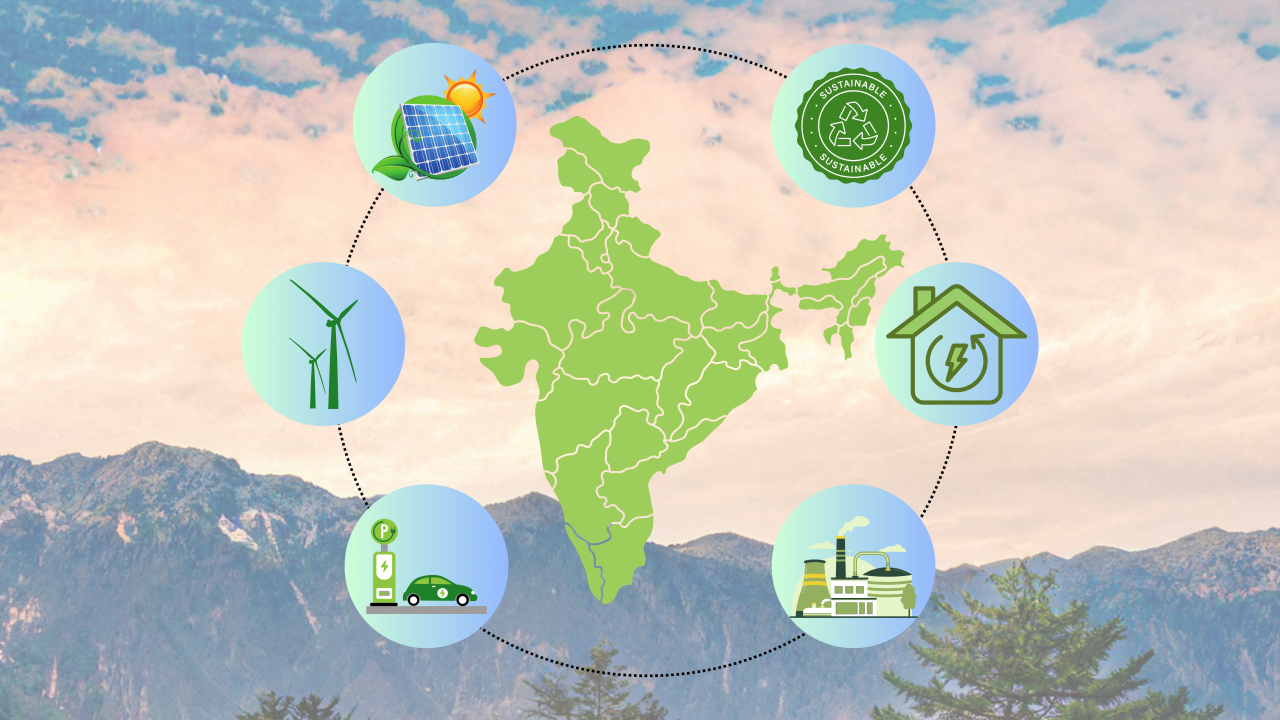 Synergising Hydrogen Generation and Electricity Storage: A Pathway to India’s Net-Zero Future
 How Make in India is Transforming India's Global Pharmaceutical Footprint
 The Radical and Enduring Legacy of Shivaji Maharaj – A Pioneer of Governance and Military Strategy
 Sarhul Festival: A Celebration of Nature and Adivasi New Year
 From Farm to Retail: Make in India’s Food Processing Revolution
 ADB-Funded SMILE Program to Enhance India's Logistics Efficiency
 India Achieves Significant Milestone in Global Tea Industry, Becomes World’s 2nd-Largest Exporter of
 Green Iron: A Billion-Dollar Opportunity and the Challenge of Winning It