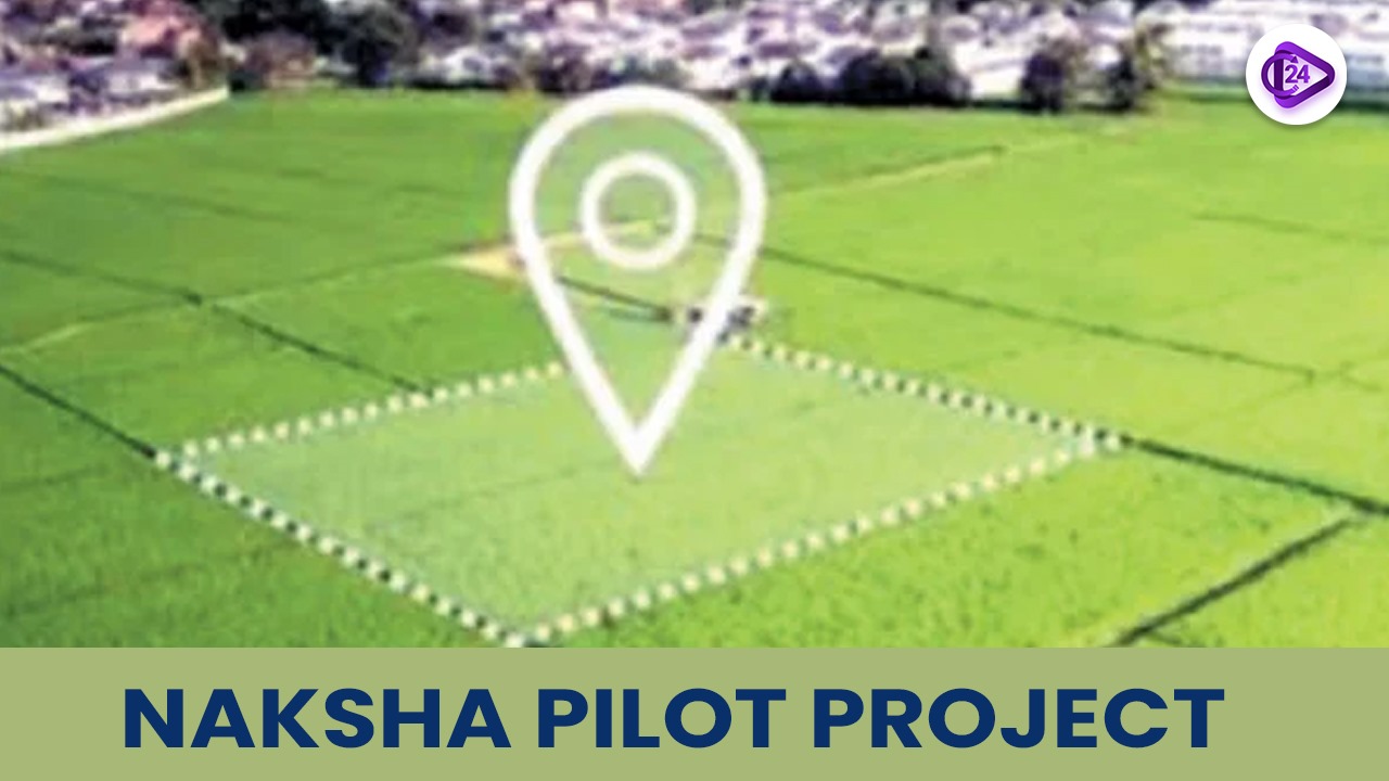
NAKSHA Pilot Project: National Geospatial Knowledge-based Land Survey of Urban Habitations
Overview: The NAKSHA Pilot Project aims to modernize urban land records across 152 Urban Local Bodies in India. Using advanced technologies like aerial surveys and Web-GIS platforms, it will resolve property disputes, enhance urban planning, and empower citizens with clear ownership data. With an estimated ₹194 crore funding, this initiative is a crucial step in digitizing land records and fostering sustainable urban development.
Under the visionary leadership of Union Minister Shri Shivraj Singh Chouhan the National Geospatial Knowledge-based Land Survey of Urban Habitations known as NAKSHA will carry out its operations across 152 Urban Local Bodies throughout 26 states and 3 Union Territories in India. The program targets urban properties to enhance their records and documentation systems in order to produce better urban planning results and reduce property conflicts while making ownership information accessible to those affected.

Key Points about NAKSHA
Purpose and Objectives:
-
Practical Land Record Generation: NAKSHA operates as a system that develops and maintains urban land documentation while producing exact ownership documentation.
-
The initiative functions to resolve property disputes through its system of delivering valid and current records.
-
The precise collection of land data allows municipal administrations to create well-informed plans regarding urban development together with infrastructure development.
-
Land records which are clear provide citizens with power to protect property rights and to receive faster loans among other services.
Implementation and Technology
-
Aerial Surveys: Aerial surveys will be carried out by the Survey of India, and orthorectified imagery (corrected aerial photographs) will be supplied for precise land mapping.
-
Web-GIS Platform: The Madhya Pradesh State Electronic Development Corporation (MPSEDC) will create a Web-GIS platform, which will be utilized for carrying out surveys and capturing data.
-
Ground Truthing: State and UT governments will carry out field surveys and ground verification to authenticate the data collected through aerial surveys.
-
Storage and Access: National Informatics Centre Services Inc. (NICSI) will supply the data storage facility required for the platform.
Collaborative Efforts
-
Technical Partnership: Survey of India is the technical partner of NAKSHA, which offers expertise in aerial surveying and imagery.
-
Government Collaboration: The project shall be implemented with state and Union Territory governments, which will facilitate ground-level data acquisition and ultimate publication of land records.
-
Estimated cost: The cost of the NAKSHA pilot program is estimated at ₹194 crore, which will be entirely funded by the Government of India.
Events and Activities
-
Launch event will involve drone flying, distribution of the SoP booklet, and presentation on the NAKSHA program, including video and flyers.
Significance of NAKSHA
-
Discouraging Darkness: The IT-based systems that will be applied on property records would increase transparency in the land transactions as well as mitigate corruption and raise confidence in the land administration system.
-
Helping Sustainable Development: Accurate land records will enable better urban planning, sustainable development, or improved resource management, to implement the project.
-
Enhancing the Ease of Living: The streamlining of all documentation of lands sets up access for people to lay claim to their property rights thereby improving their quality of life overall.
-
Digital India and E-Governance: NAKSHA is a part of digital governance-focused programs including the Digital India initiative which pushes for technology usage to improve governance and delivery of services.
-
Land Reforms in India: The NAKSHA Mission is one of many missions in the land reform concert. Updating and digitizing land records form part of activities preventing illegal land grabs while improving the management of land.
-
Urbanization with Sustainable Development: NAKSHA thus assures taking sustainable urban development because all these inputs rely on accurate land records for effective urban planning, infrastructure development, and resources management.
-
Geospatial Infrastructure in Governance: The use of geospatial technology applications including GIS and remote sensing makes a modern trend in governance by giving a basis for good decision making, hence improving public administration.
-
Public Projects: These aspects in large state government projects such as NAKSHA are helpful in understanding and analyzing the effectiveness of public sector efforts directed toward infrastructure development and better governance.
Other government projects
-
Digital India Programme – Aiming at transforming infrastructure and e-governance into a digitally empowered society.
-
Swamitva Yojana- Drone technology and geospatial tools will be used for property titles for the rural households.
-
Pradhan Mantri Awas Yojana (PMAY) – Affordable housing for urban or rural poor.
-
Atal Mission for Rejuvenation and Urban Transformation (AMRUT) – Covers urban amenities involving the improvement of urban infrastructure in water, sewerage, and transport.
-
Bhoomi (Land Records) Project – Digitization of land records and providing online access to them in Karnataka.
-
National Land Records Modernization Programme (NLRMP) – aims to modernize land record management in the country.
-
Smart Cities Mission – Sustainable and inclusive urban development through smart infrastructure.
-
Make in India – To promote growth and employment by propelling manufacturing and industrial development.
-
M-Governance (Mobile Governance) – the government has used mobile technology for efficient delivery of services to citizens.
Conclusion
The NAKSHA Pilot Project would mark a big step towards modernizing urban land records and improving governance through technology. It aims to provide citizens with clear, accurate, and up-to-date land data to simplify urban planning, reduce disputes, and empower them toward sustainable development in urban areas.
Related Current Affairs
 IIA Achieves Breakthrough in Measuring Helium Abundance in the Sun
 QpiAI Launches India’s First Full-Stack Quantum Computer, QpiAI-Indus, on World Quantum Day
 ISRO to Send Tardigrades on Axiom-4 Mission: A Step Towards Advancing Space Research
 TERI's Nano Sulphur Breakthrough in Mustard Cultivation
 ISRO's Successful Second Docking of Satellites – A Milestone in Space Technology
 Potential Biosignatures Discovered on Exoplanet K2-18b by JWST
 India Launches First Native Seed Germination Database for Ecological Restoration
 India’s Evolving Approach to Artificial Intelligence Governance and Regulation
 Golden Jubilee of Aryabhata 2025: Celebrating India’s First Satellite and ISRO’s Historic Milestone
 ESA's Biomass Mission 2025: Tracking Global Forest Carbon Storage via Satellite