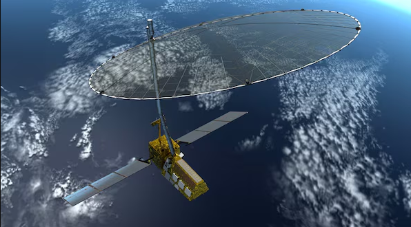
The NASA-ISRO Synthetic Aperture Radar (NISAR) mission already under development by the National Aeronautics and Space Administration of the United States (NASA) and the Indian Space Research Organisational (ISRO) promises to alter the current landscape of earth observation. Currently under construction with a planned launch in 2025 on an ISRO GSLV Mk II launcher, NISAR will be the most advanced radar imaging satellite to be put into orbit providing far greater detail and far more frequently than almost all other satellites in service today.
With L-band and S-band dual-frequency synthetically operating radars, NISAR will measure surface changes of the earth using micrometric precision, in any weather and under any light condition. This capability will certainly go a long way to improve the understanding of such important environmental processes across the globe and therefore a relevant tool towards tackling many challenges including disaster management, agricultural productivity and climate change.
Disaster preparedness and response is one of the program areas of focus for NISAR. It means that by sensing the deformations on the Earth’s surface and analyzing them the satellite will help avoid natural disasters such as earthquakes, landslides, and volcanic activity. Further, several programmes including NISAR will be useful for the determination of the rate of changes of glaciers and ice sheets, towards providing clearer estimates of the rates of sea-level changes resulting from climate change impacts.
In agriculture, the satellite imagery of high-resolution will be useful in monitoring crop condition, predicting crop yield, and irrigation. It will also accurately give figures on deforestation, wetland conversion and carbon stock assessments for which global endeavours against deforestation and emissions of greenhouse gases will be invaluable.
The mission signifying a new high in collaboration between the two nations and coordination of NASA’s radar science and ISRO’s skills in satellite builds and affordable rocket launches. NISAR makes two important statements: India is a global player in space related research and India is willing and capable of using space technology for a better tomorrow.
NISAR, being an international collaboration, can be expected to deliver data that will be useful at least in terms of several decades, and is expected to serve the interests of not just the contracting nations but the stake holders in the larger world, empowering decision making for the creation of sustainable living environments.


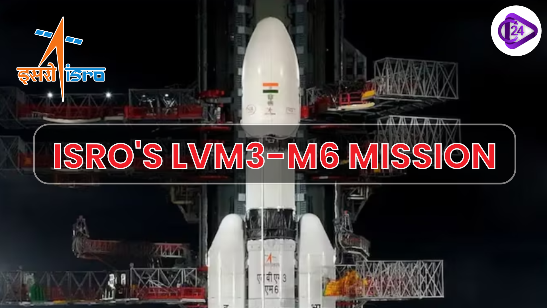 ISRO's LVM3-M6 Mission: Launching the Heaviest Satellite from Indian Soil
 Indian Coast Guard Inducts First Pollution Control Vessel Samudra Pratap
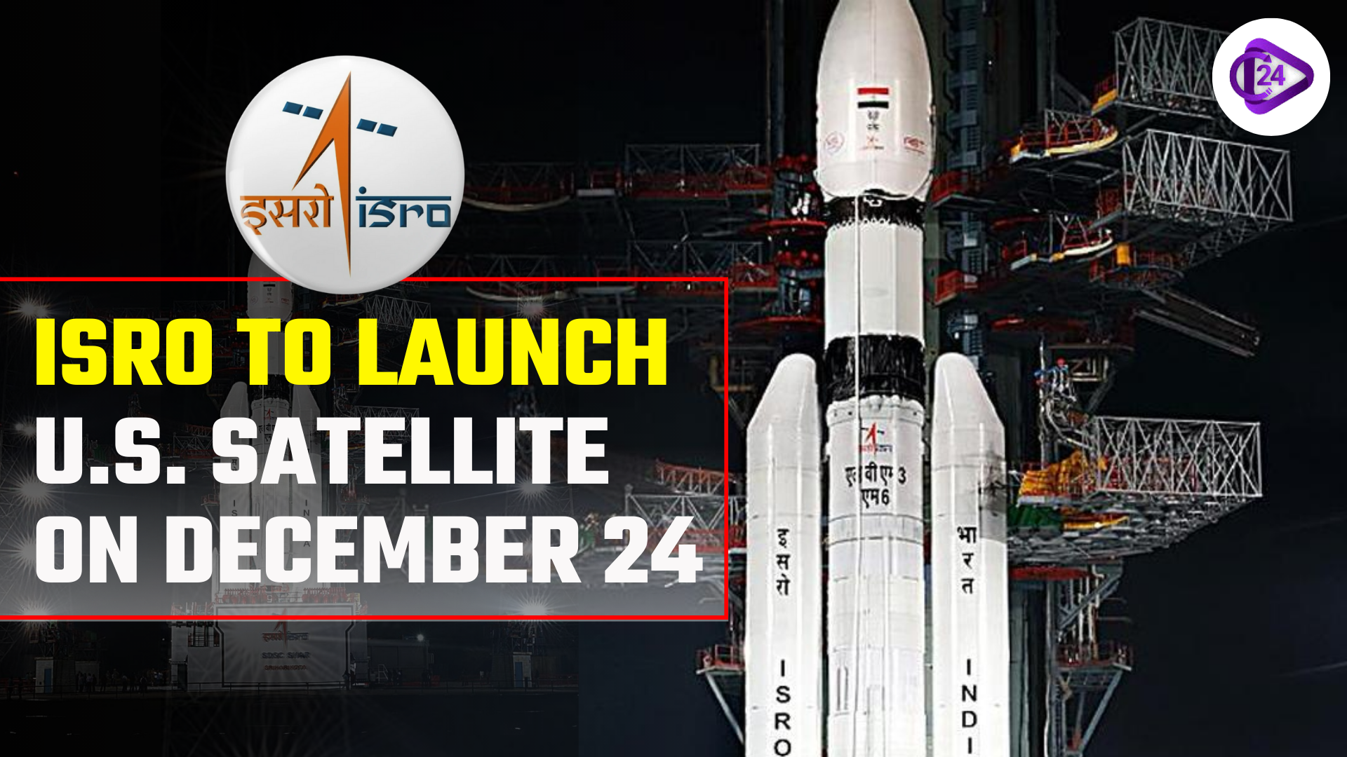 ISRO to launch U.S. satellite on December 24
 Google’s Project Suncatcher Aims to Scale AI Data Centres in Space
 India's First Hydrogen-Powered Train Coach Successfully Tested at ICF Chennai
 India’s BharatGen AI System Initiative
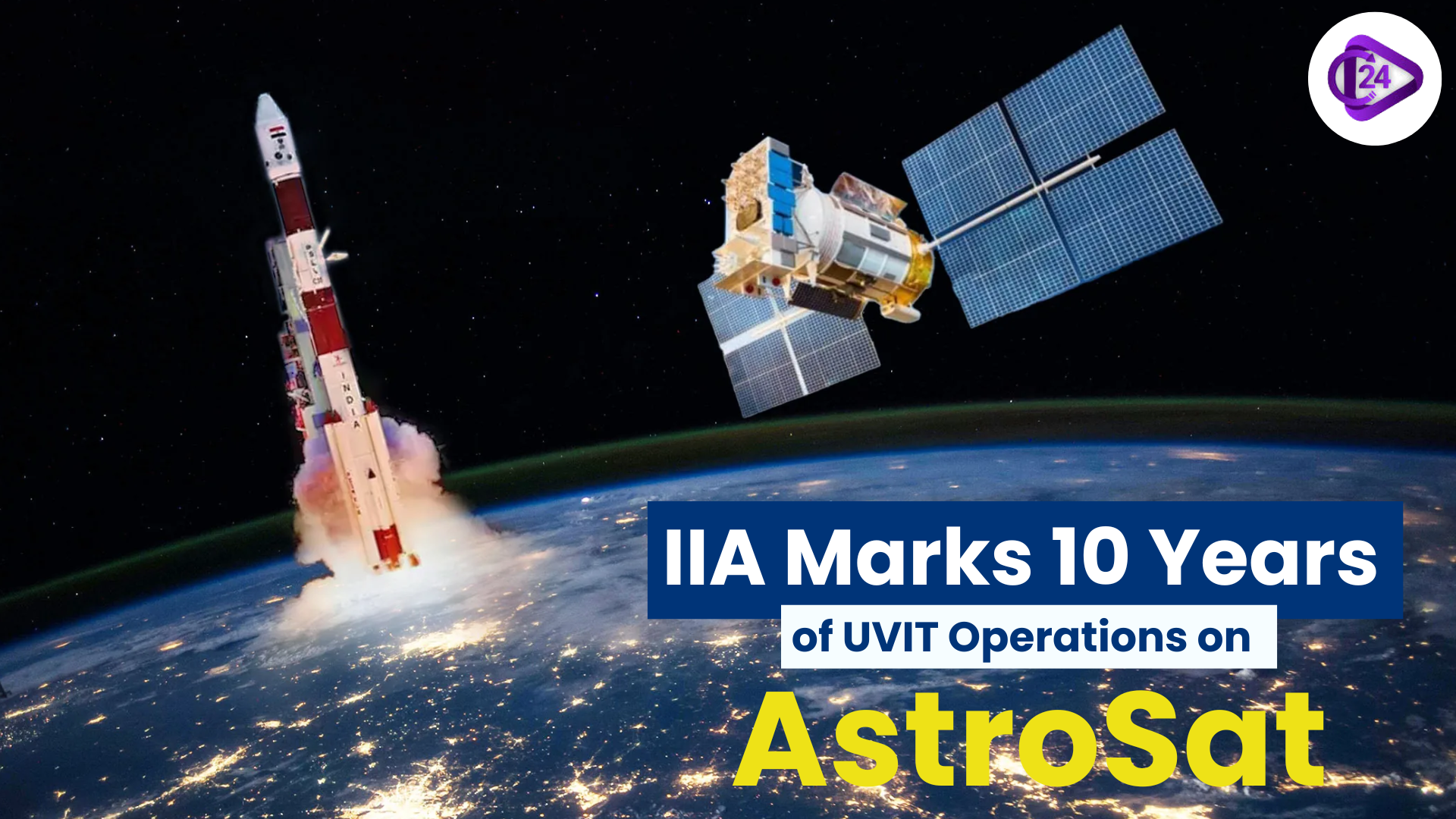 IIA Marks 10 Years of UVIT Operations on AstroSat
 PM Modi to Launch Skyroot’s Multi-Launch Vehicle Facility
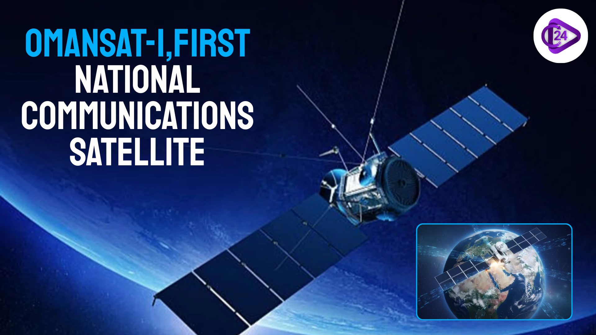 OmanSat-1 Oman’s First National Communications Satellite Launched Successfully
 India’s First Commercial PSLV to Propel Oceansat into Orbit Early Next Year


